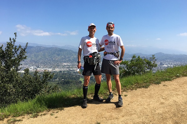
Please enjoy this guest post by our CEO, Jonathan Toker, Ph.D.
Would you be able to find your way home from the local Starbucks with only a suitable map and a compass, if you were caught in a complete white-out blizzard? I didn’t think so.
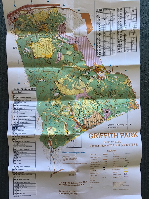
As we rely increasingly on modern technology to assist with many of our everyday tasks, we have mostly abandoned the amazing navigation abilities of our ancestors, who crossed huge oceans and expanses of land navigating by the stars and sextants, then by maps and compass. For those interested in infusing some “treasure hunting” mentality in their training or racing, I present here a recent experience with orienteering at an event that took place in Griffith Park in Los Angeles. While it’s an urban park, it features a huge expanse over 4,210 acres that includes mountains and gullies, trails and wilderness, mixed with multi-use areas, fire roads and paved roads.
Organized by the Los Angeles Orienteering Club and the capable course setting and enthusiasm of Clare Durand, this was the 4th annual event of it’s type. Thirty six check points (CPs) had been placed throughout the park. Each check point (CP) was a traditional orienteering flag box (a four-sided fabric box in red and white) along with a custom hole punch used to stamp a passport each participant carried throughout the course. Each CP was assigned a value between 30 and 100 points, and the goal was to reach the highest total of points within the four-hour time limit. This is called a “Score-O” or “Rogaine” format.
It was up to the participants to decide on their exact course, and which CPs they would reach and which CPs would be left un-visited. The penalty for a late return was steep: one point per second beyond the four hours! Needless to say, some teams ended up with a negative score!
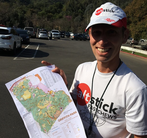
Each participant or team of two was provided with a detailed topographical map that included terrain, buildings, roads, marked trails and other details, along with the 36 CPs identified by a marked circle. The CP was generally in the middle of the circle.
Team SaltStick.com consisted of myself and my friend Chris, a regular training buddy, and together we had “won” this event (different course) a few years ago. Of course, we sported our SaltStick Running Tees and running hats (available here). Other participants were competitive runners, but most racers were simply interested in orienteering and included a number of school-age teams and Boy Scouts.
Maps and passports were distributed, and we had 30 minutes to plan our route on the map—a stressful planning session. We aimed to take in as many points as possible, opting to cut short the last few on our route if time were short. We drew our plan on the map with highlighters, made a list of the order of CPs, and noted a few places where we “hoped a trail would exist or we would figure it out en route!” At 10 a.m., the event started, and 40 individuals or teams scrambled off. Imagine a race start where people all begin going different directions when the “gun” goes off! What fun!
We are solid runners, and were counting on our leg speed to get around the course as quickly as possible. But this is a thinking sport, and the fastest team is not necessarily the team scoring best. Since navigation and map-reading is critical, running fast in the wrong direction is less-than-ideal! We knocked off the first few CPs and felt things were going well, when of course, we tried to save some time by going down a steep gully rather than a longer trail route. We made it down, but it was a waste of time for sure. For a day filled with hundreds of choices, we certainly made our share of bad ones…but we did find each CP that we sought—though a few were hidden in brush, etc. That made it frustrating when you know you’re in the “right” spot, but the flag cannot be found!
Nutrition and fueling: During the four hours, we carried water and refilled from a few faucets along the way (marked on the map), and drank as needed. We each ate about three Clif Bars and a gel, and consumed about five SaltStick Caps (I also ate several Fastchews—Orange is my favourite flavour!). For an event of this duration, or anything over an hour, proper nutrition is really important to ensure optimal performance. Finding 36 CPs throughout a huge area was difficult enough. Proper nutrition removes that added uncertainty and difficulty of poor planning and execution. After the event, we made sure to have some recovery calories, protein, more SaltStick Caps and proper hydration, to ensure recovery for the next adventure.
As we progressed through our planned course, we met many bewildered visitors and tourists who probably wondered what we were doing running around looking for CPs. Running fast—stopping to look at the map—running fast again—some light compass work to ensure we were going the desired direction. While probably entertaining to onlookers, it was absolutely such fun for us! For anybody who ever played hide-and-seek at any age, now you can try orienteering and live even larger.
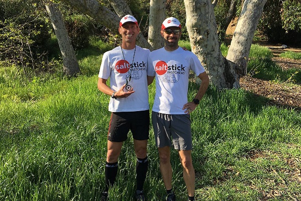
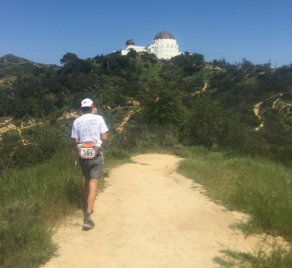
Time clicked by and we found ourselves on the return arm of our large loop, but short on time, and we opted to miss one CP that was a bit out of our way, but decided on another that appeared en route back to the finish. What we didn’t notice (I’ll take the blame) was the trail required for that CP was hilly and a bit longer. As a result, we gave it everything we had to rush back—19 miles after the start—only to arrive in 4:04:15. That entailed a deduction of 255 points! A huge penalty for four minutes…and what ended up being the difference between our second place and first place, well-earned by local trail runner (and The Barkley participant) Guillame Calmettes. Had we simply taken a road back and missed that CP, we would have probably made it back in time and won. And such is this sport, where thinking and decision-making is part of the draw and challenge.
Are you up for some orienteering to mix up your exercise or racing routine? Check out the USA Orienteering Website for more information, to locate a club or an event near you.
